The living map of trail water
Know where the water is.
Discover streams, springs, waterfalls and mountain pools. Plan routes around recent reports, then help keep the map current.
Available on iPhone. Android is coming later.
Explore the map
See the trail through water.
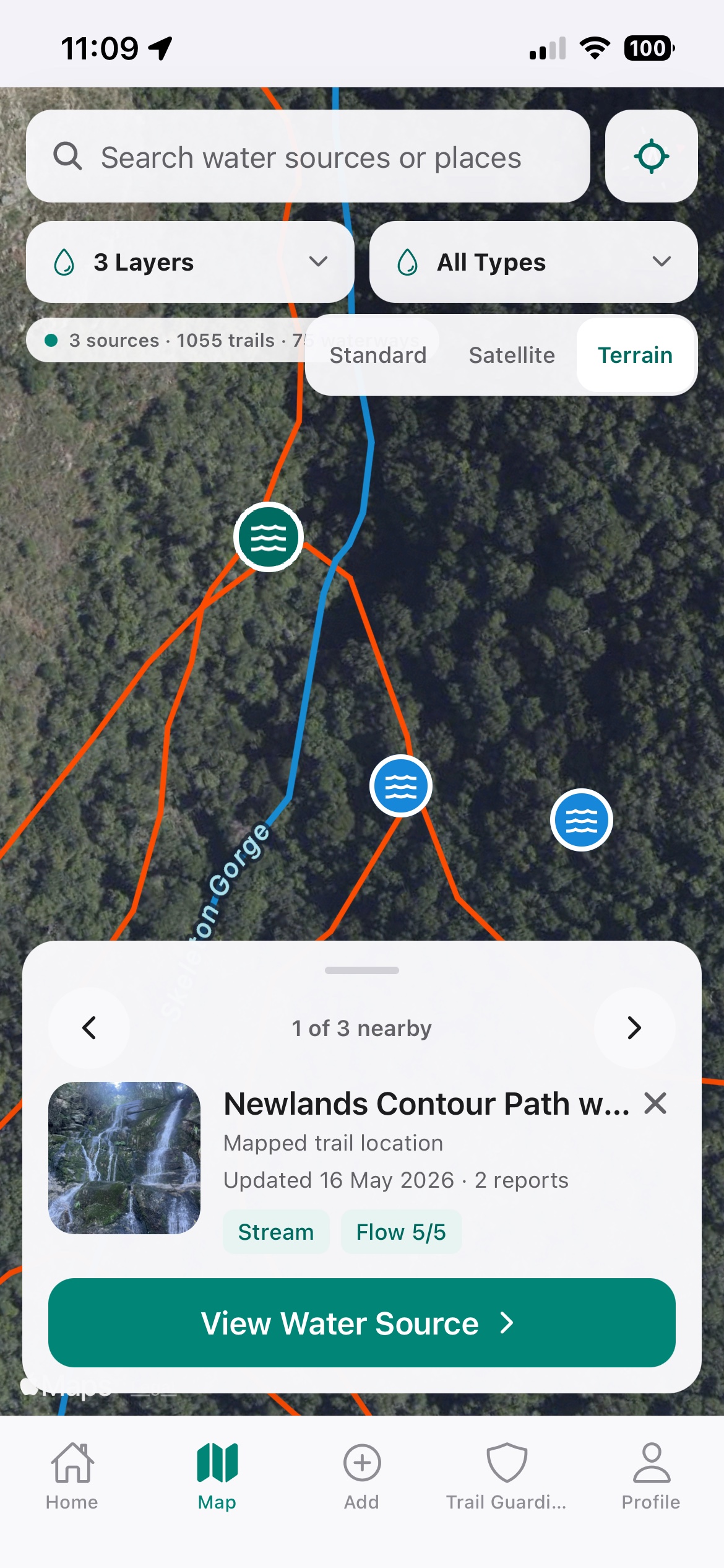
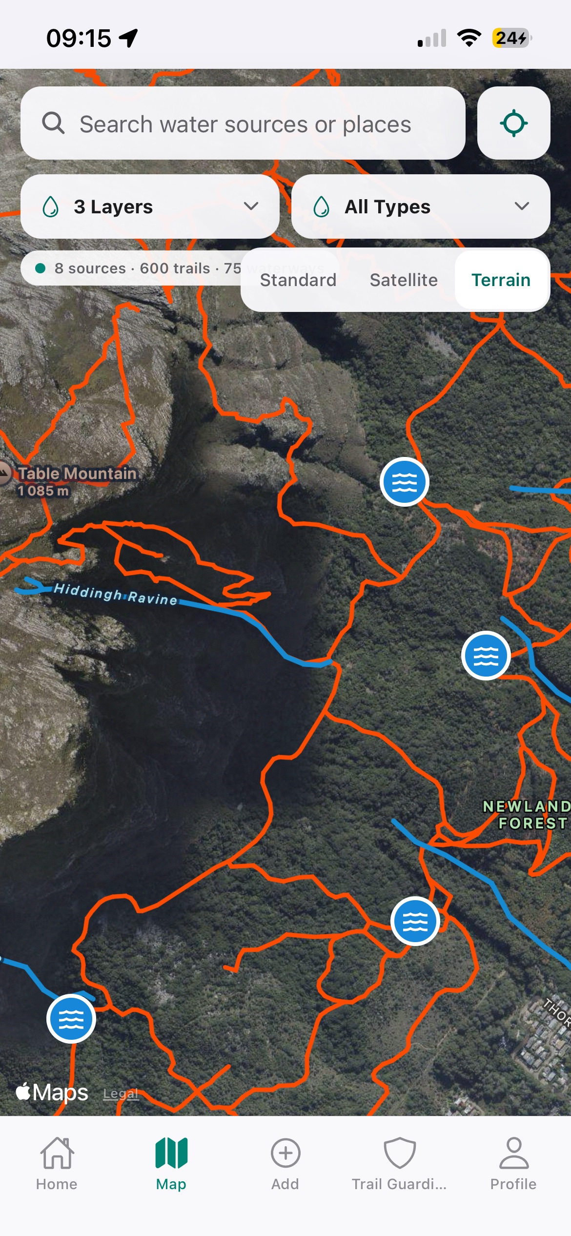
Stroom layers recent community reports over terrain, trails and waterways so the landscape makes sense at a glance.
Recent conditions
See when a source was last visited and how strongly it was flowing.
Useful map layers
Switch between terrain, satellite, trails, waterways and your own uploads.
One shared history
Nearby reports stay attached to the same source, building a clearer record over time.
Plan with confidence
Build the route around the water.
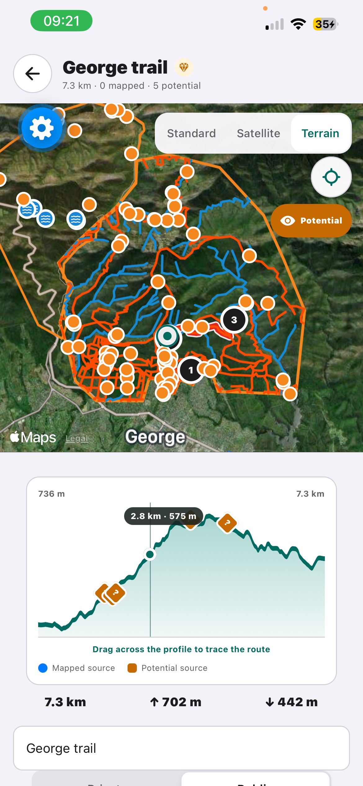
Trace a route on the trail network and see every reported and potential source along the way—on the map, the elevation profile and in a kilometre-by-kilometre list.
Trail-aware routing
Plot along mapped paths, or switch briefly to manual mode when the trail breaks.
Elevation and water together
Drag across the elevation profile to locate the matching point on the route.
Save, export and share
Keep routes on your profile, export GPX, or send a Stroom route to a friend.
Trail Guardians
Make local knowledge a game.
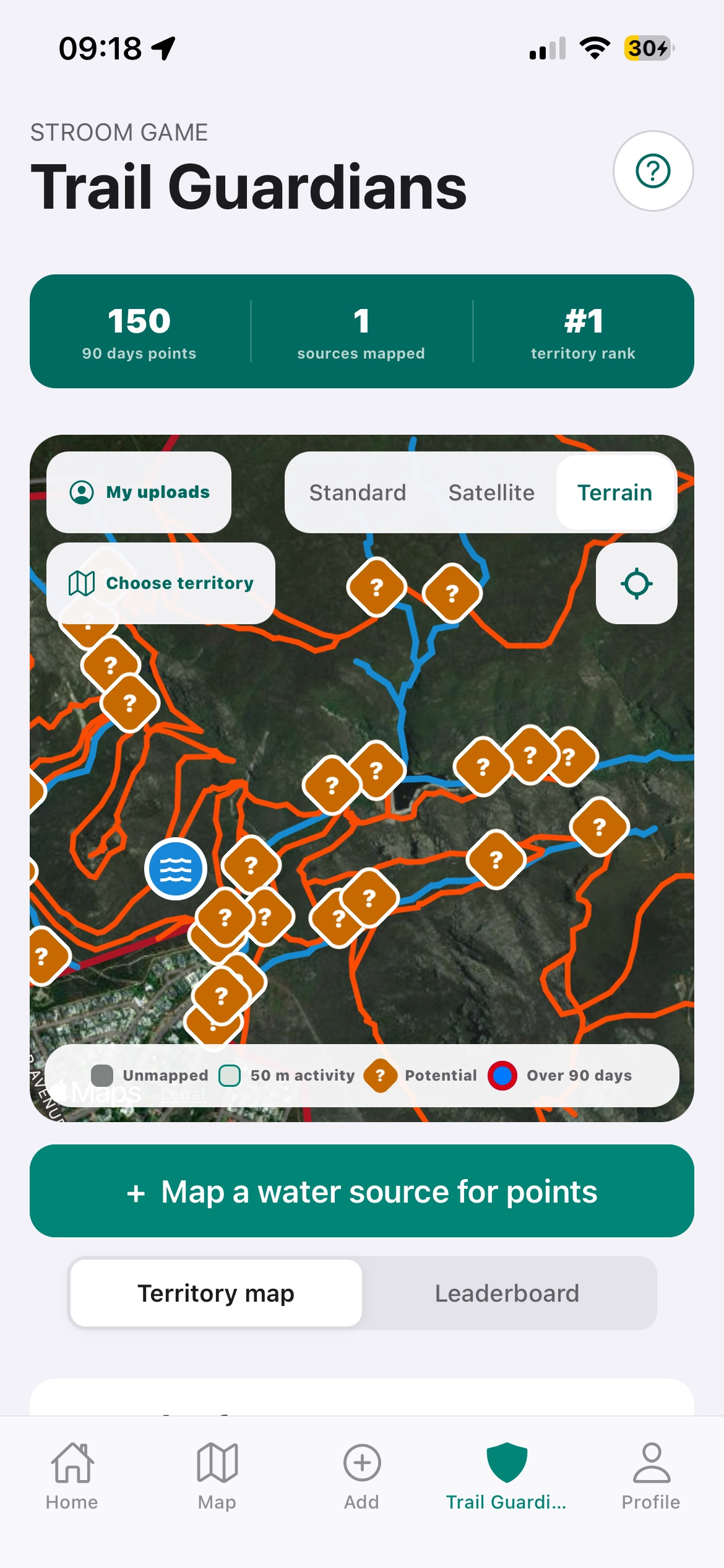
Choose a territory, find unmapped water and refresh old reports. Every useful visit earns points and moves you up the rolling leaderboard.
Discover new sources
Map new water points and turn potential locations into verified reports.
Keep territories current
Old sources are easy to spot, giving Guardians a reason to revisit them.
Become the Guardian
Lead your territory over a rolling 90-day period, or compare with your club.
Current conditions
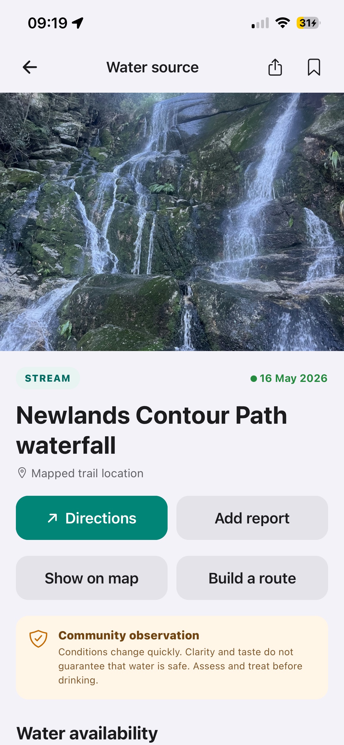
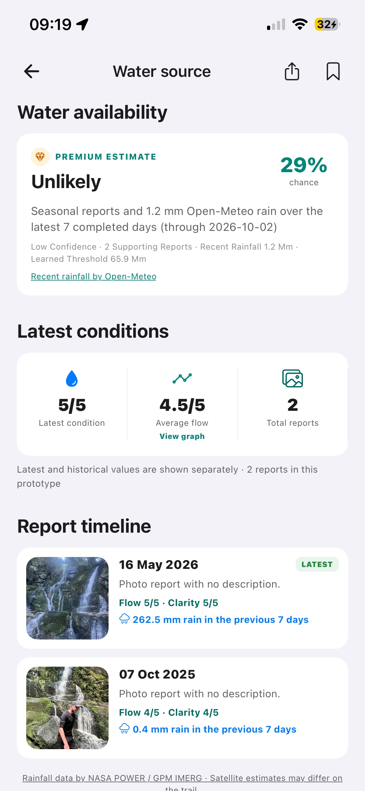
See the source, then read its history.
Open a water source for directions, recent reports and a rainfall-informed availability estimate.
Discover what is out there
Every source has a story.
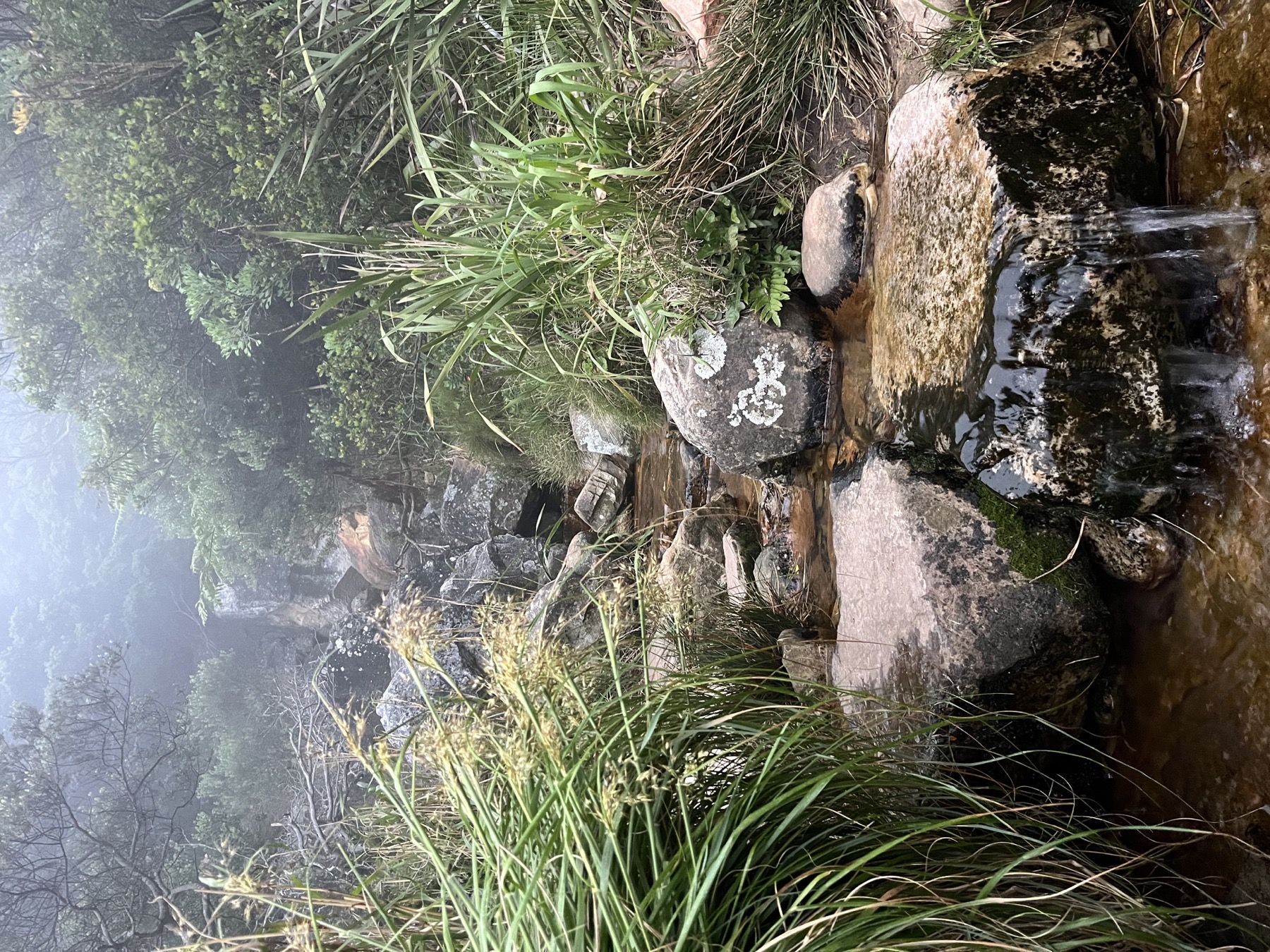
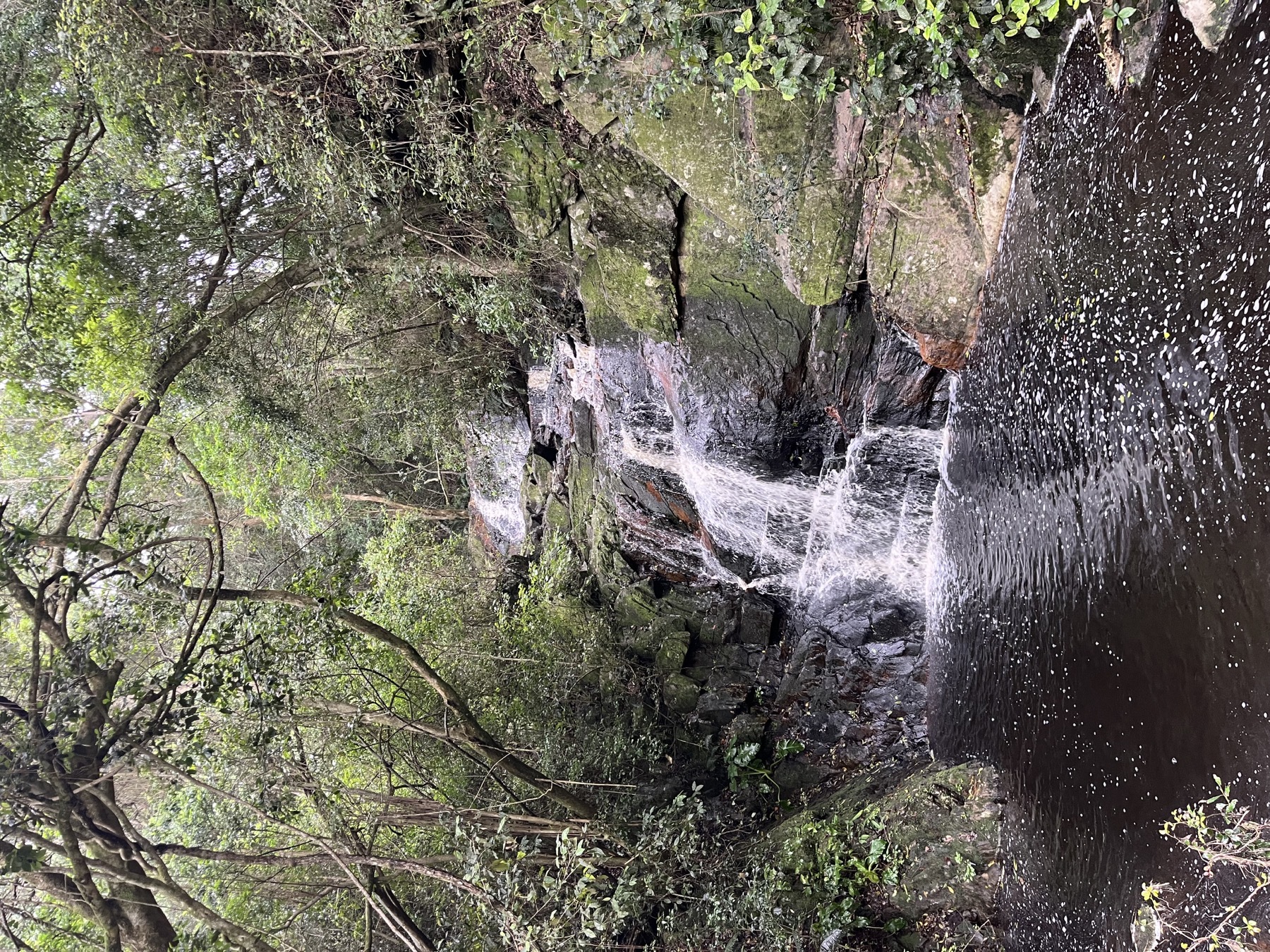
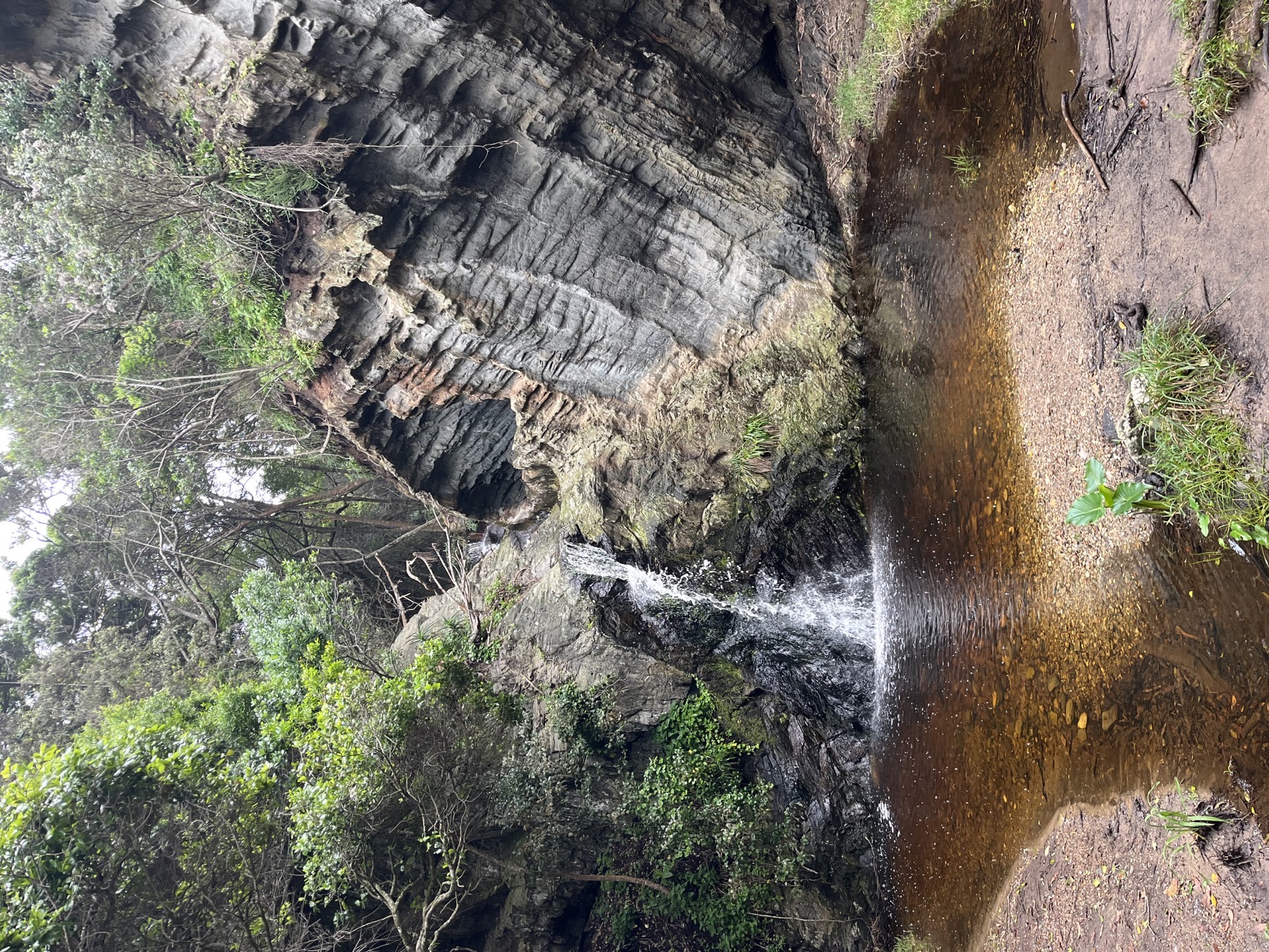
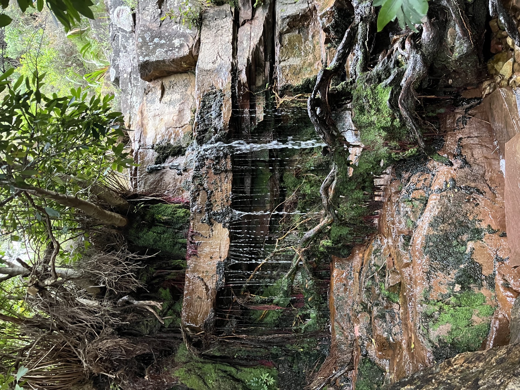
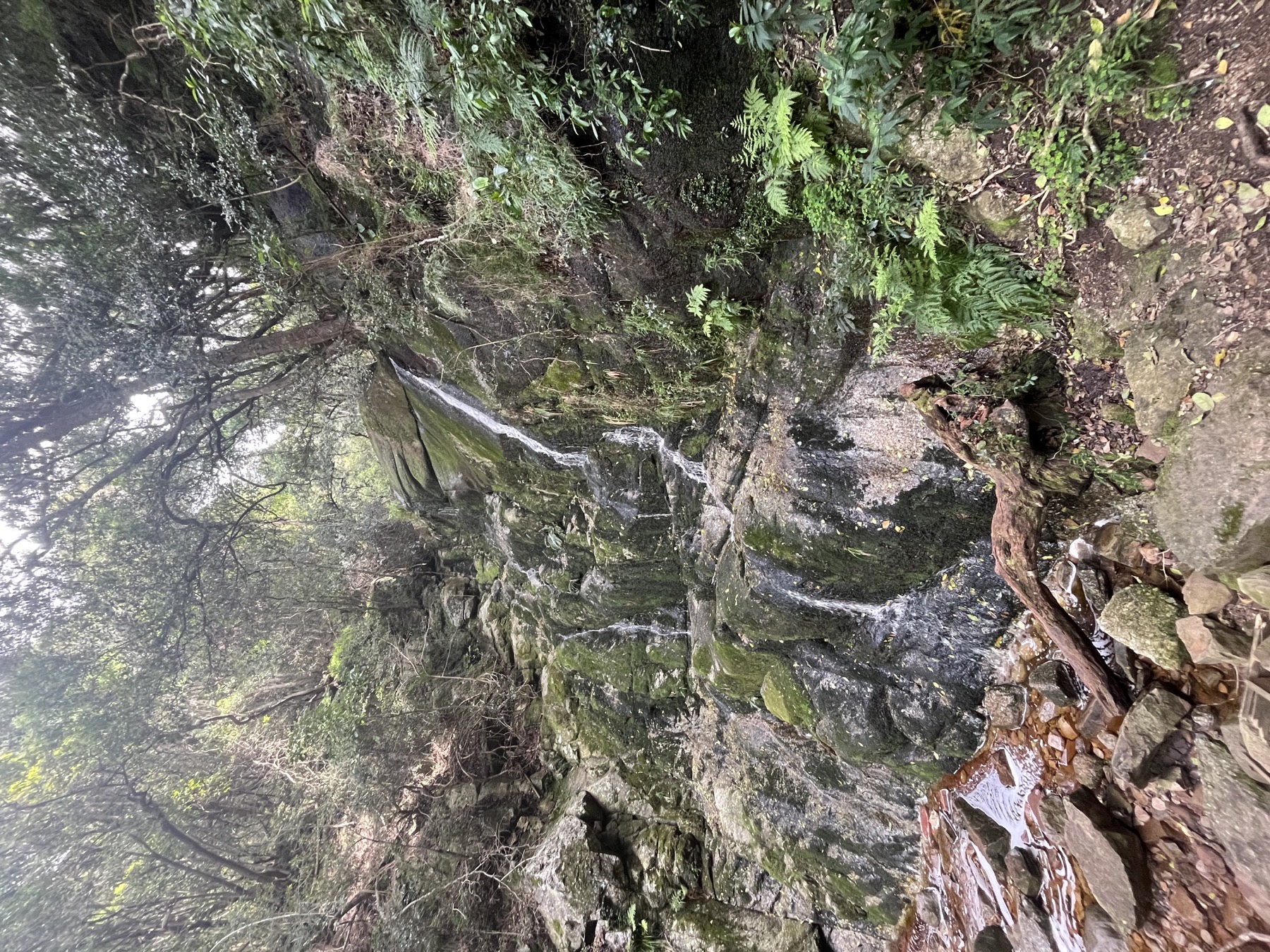
A shaded spring, a seasonal stream, a waterfall after rain or a mountain pool worth the climb—Stroom helps people find and document them.
Plan for uncertainty.
Stroom contains community observations, not guarantees. A source can become dry, inaccessible or unsafe between reports. Check local guidance, treat natural water and carry a backup supply.
Go further with water in view.
Download Stroom and help build a more current map of water on the trail.